🚲 101.3 miles, 2085m climbing, Cols: 🏔 Coll de la Quillane 1713m, 🏔 Coll de la Llosa 1863m, 🏔 Col de Fontcouverte 605m
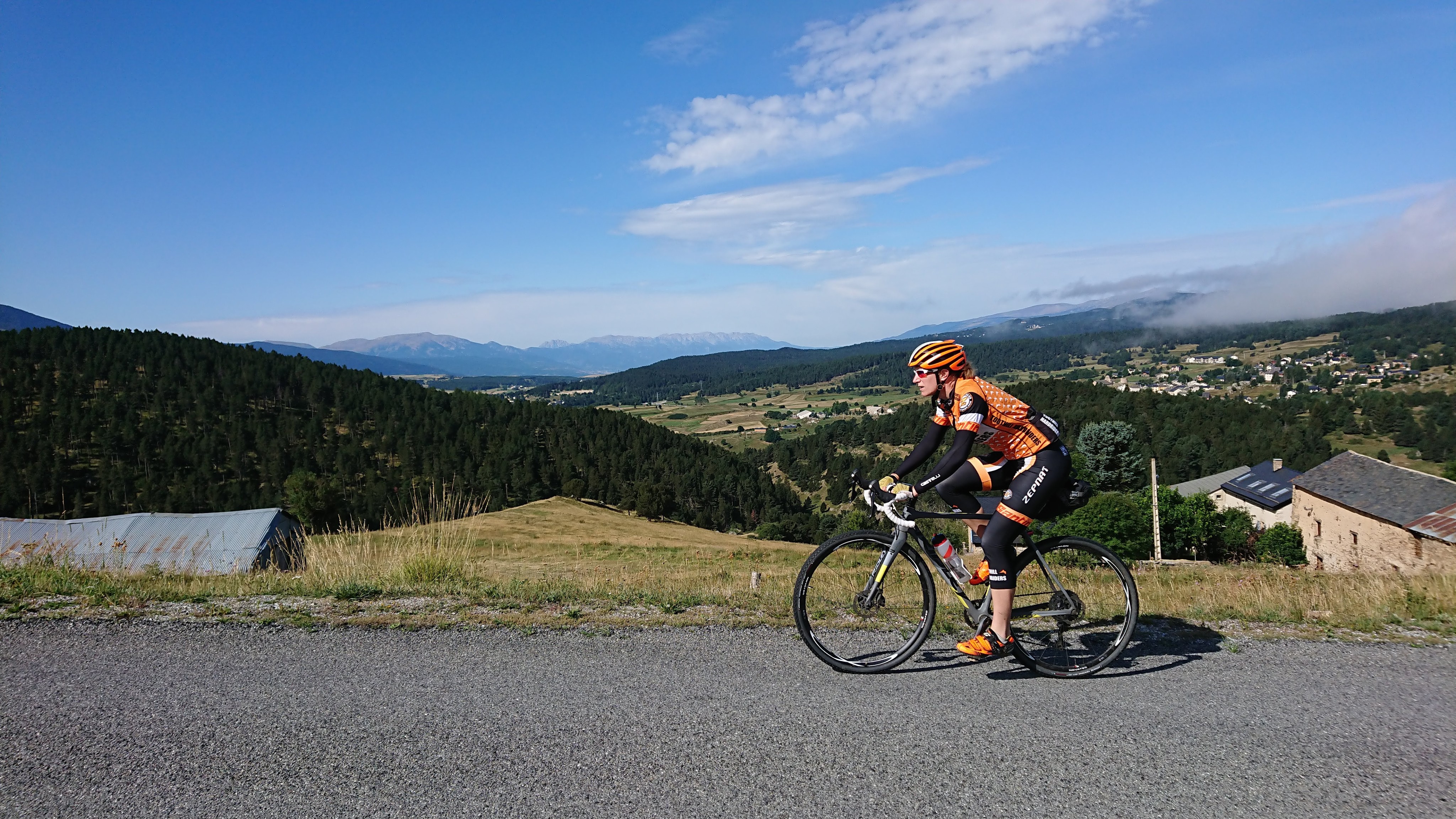
Being so high up, we thought a check of the weather forecast would be wise before setting our alarms for the morning. It looked like an extra hour’s sleep would mean the ‘feels like’ temperature would be in double figures by the time we left. So, after a more relaxed than usual breakfast, we climbed into the saddle at 0930 to descend down to warmth in the direction of the not-too-far-away Mediterranean.
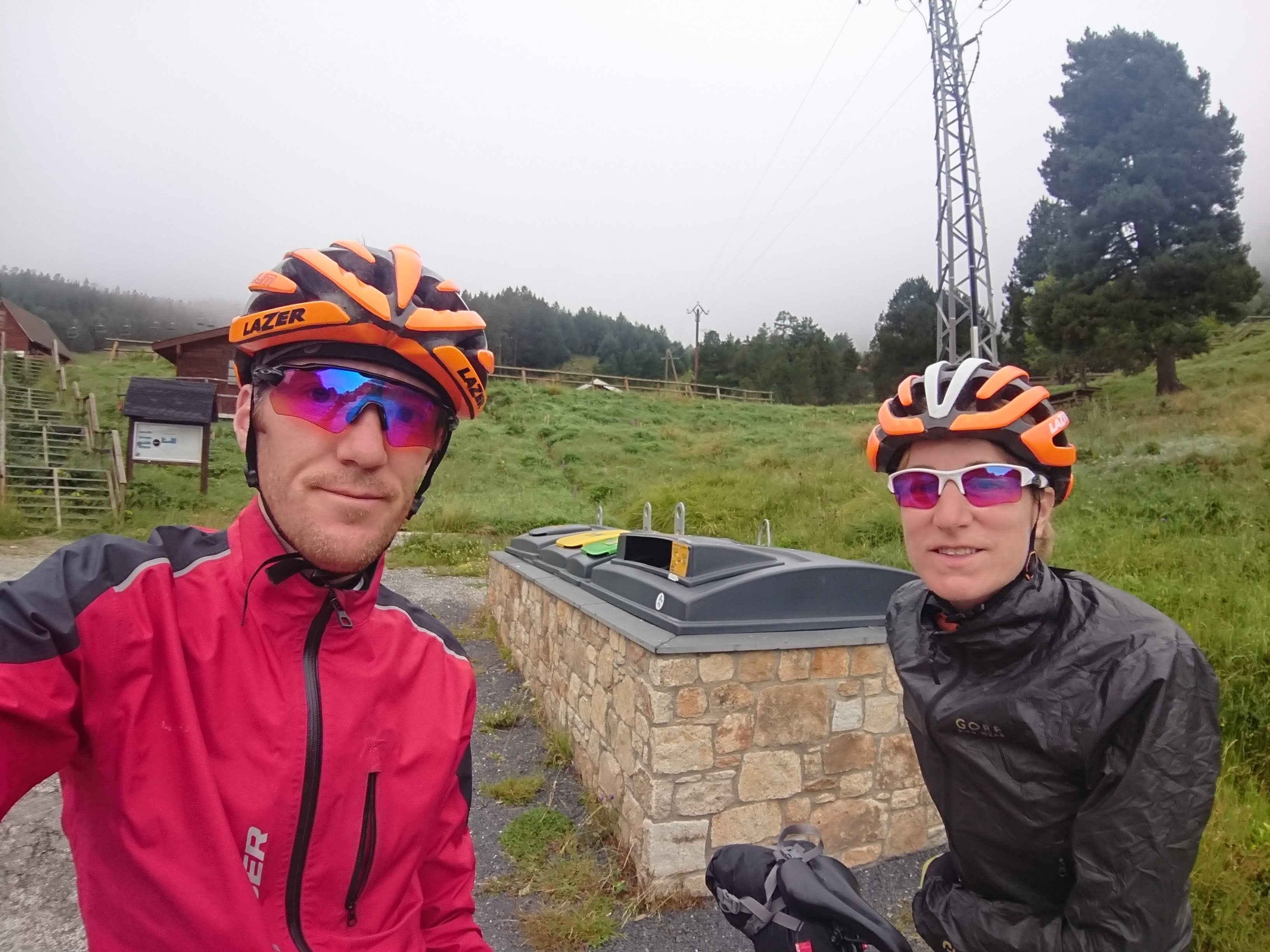
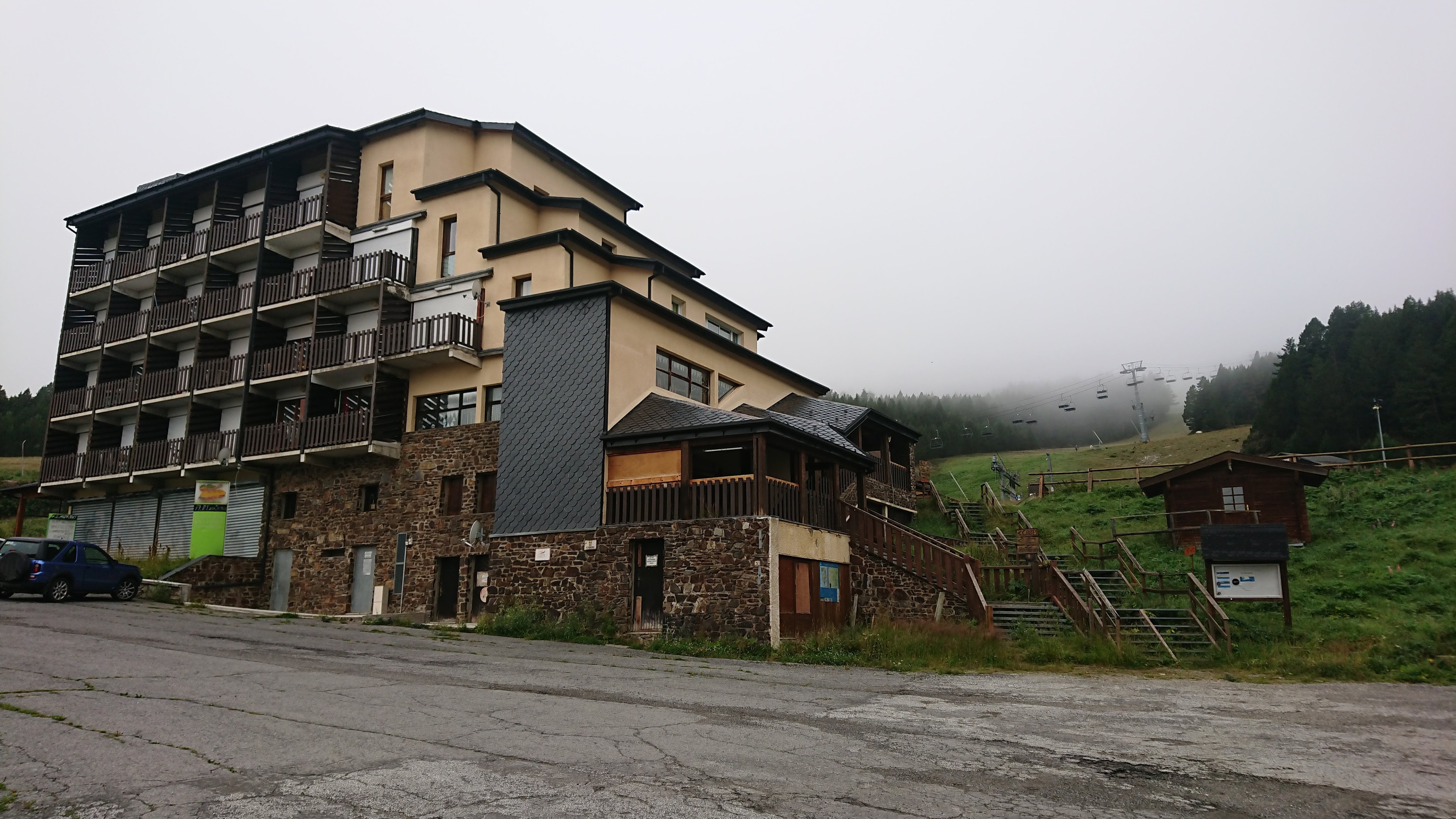
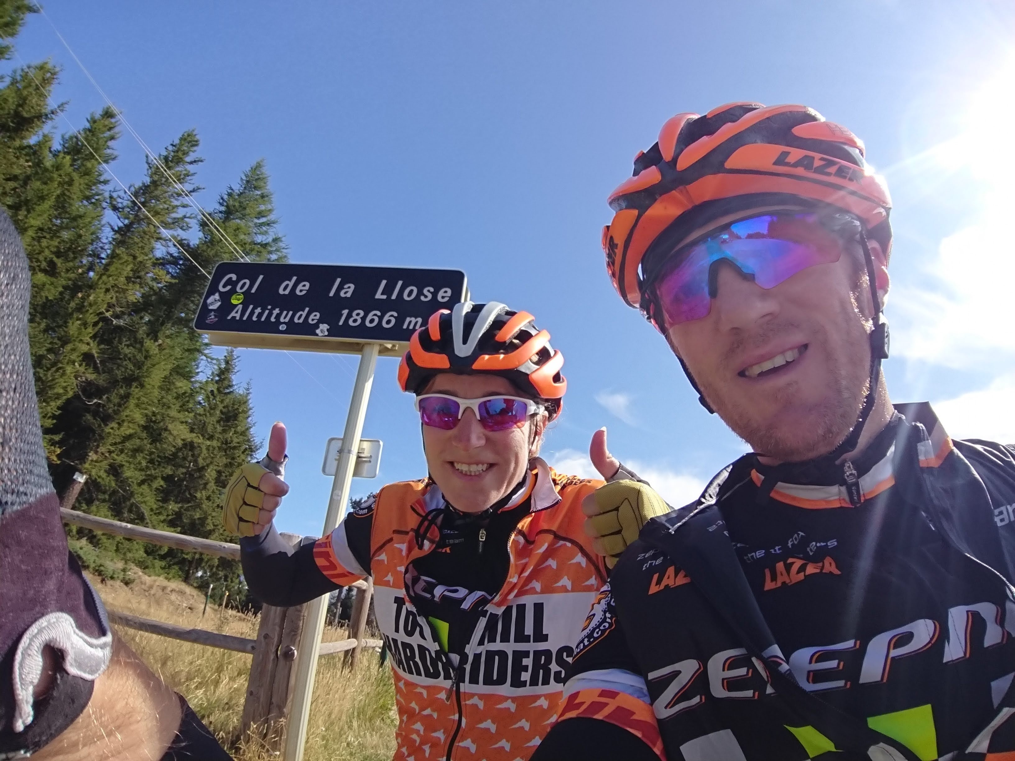
It was still rather grim and cloudy, and looked worse in the direction we’d come from but rather promising in the direction we were going. We only had one real col planned on this final day but that came in two stages, with the Coll de la Quillane coming as an early bonus on the main road towards Mont Louis (in an area which looked very popular for skiing). After this, we turned up a smaller road and soon climbed above the clouds to the top of the Coll de la Llosa.
Here it turned out that our new Google maps derived route turned off-road. We hadn’t expected this and Jen was none too keen. However, it was turning in to a lovely day and Alex assured her that it looked to be a good short cut.
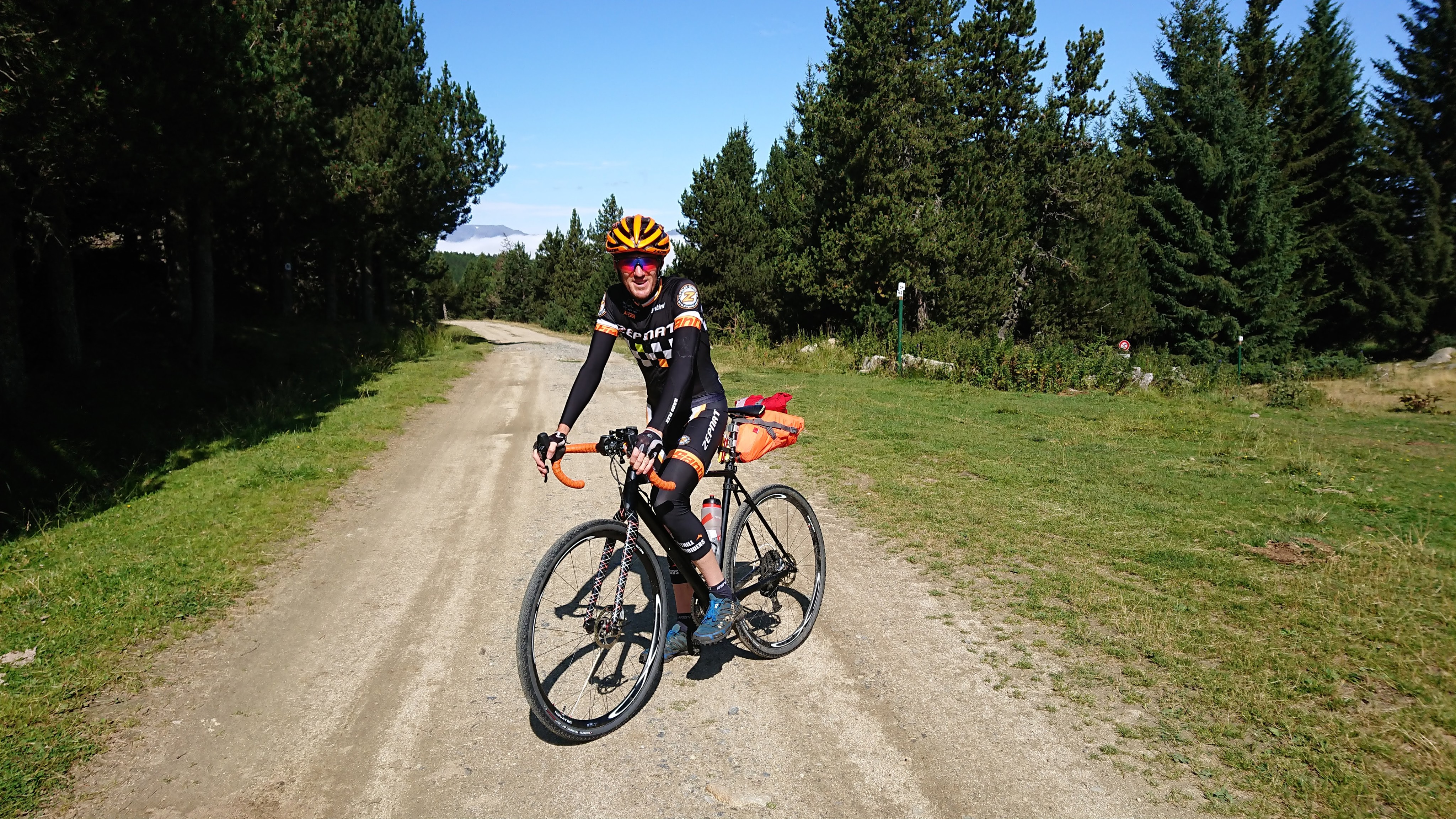
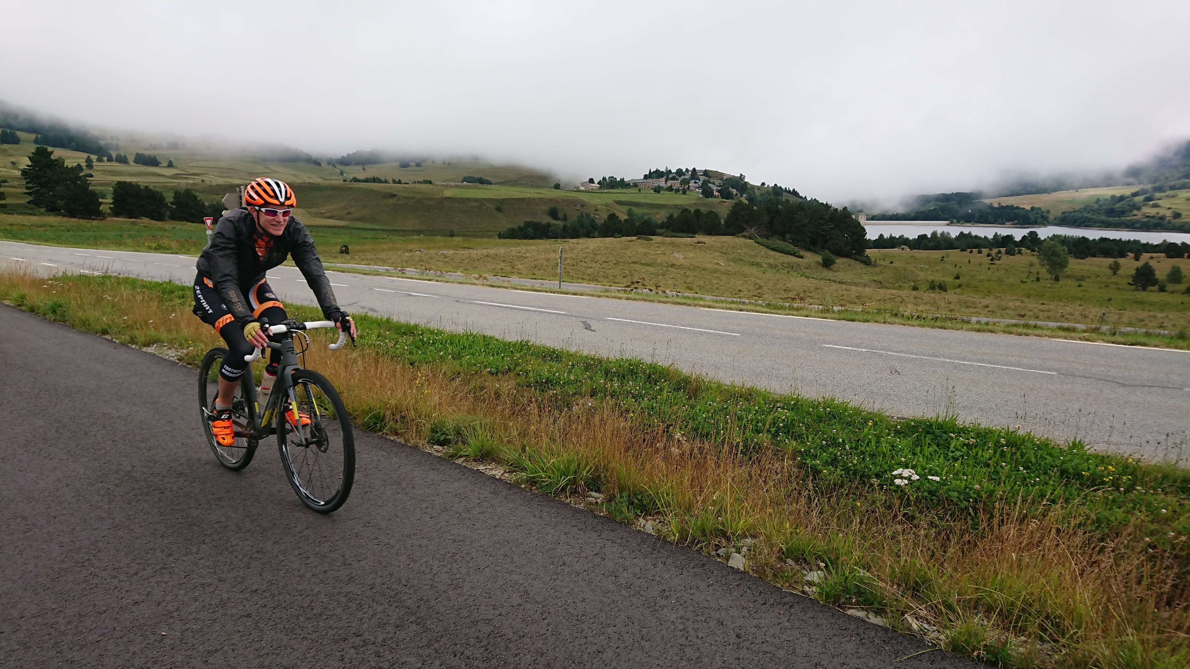
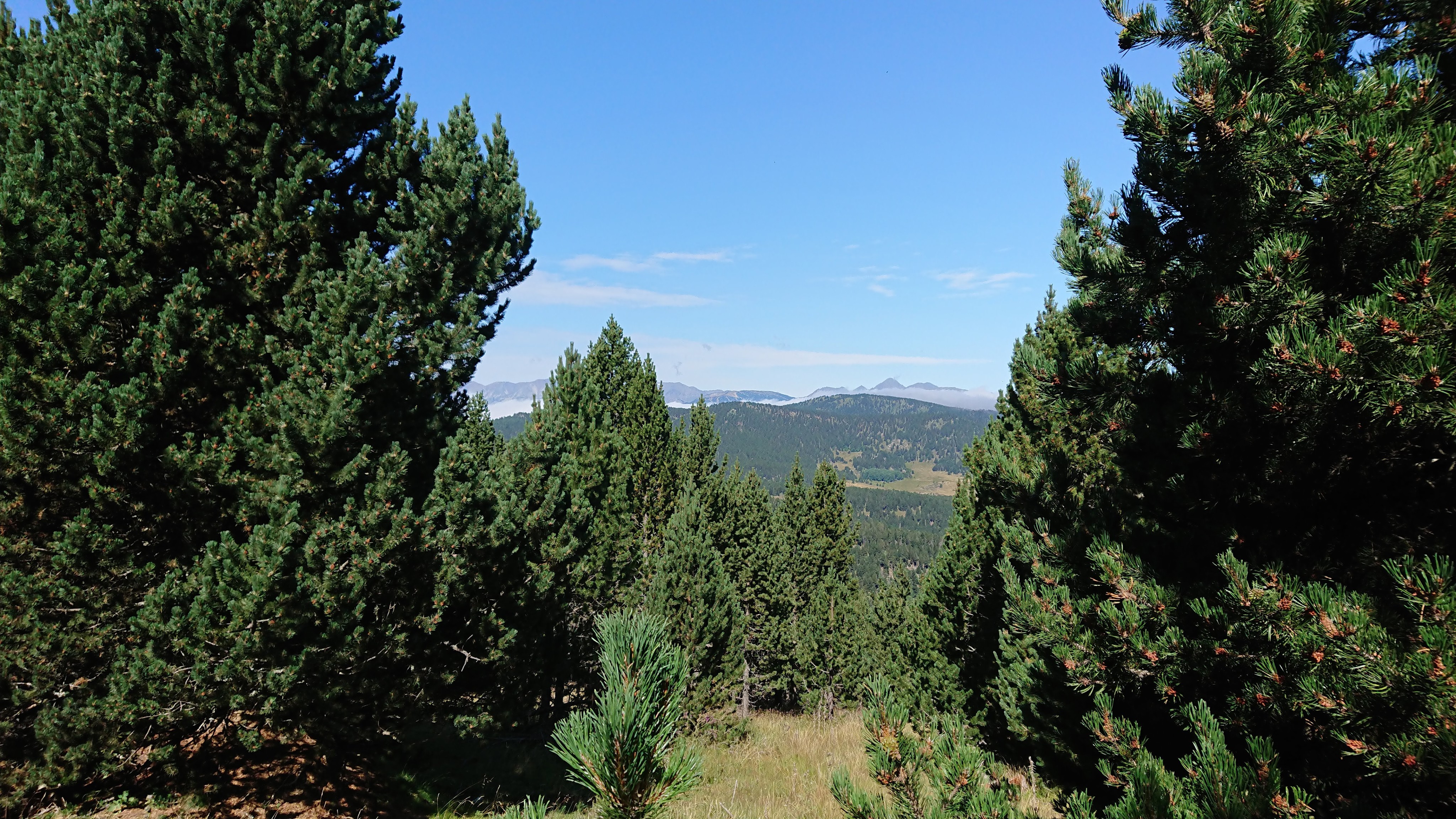
This trail turned out to be one of the highlights of the whole adventure. After some easy riding along the flat, with amazing views back towards the angry cloud-swathed mountains we’d left behind, …
… we descended a wonderful gravel/rock track (perfect training for the final descent of the Three Peaks Cyclocross). We had some fun videoing each other…
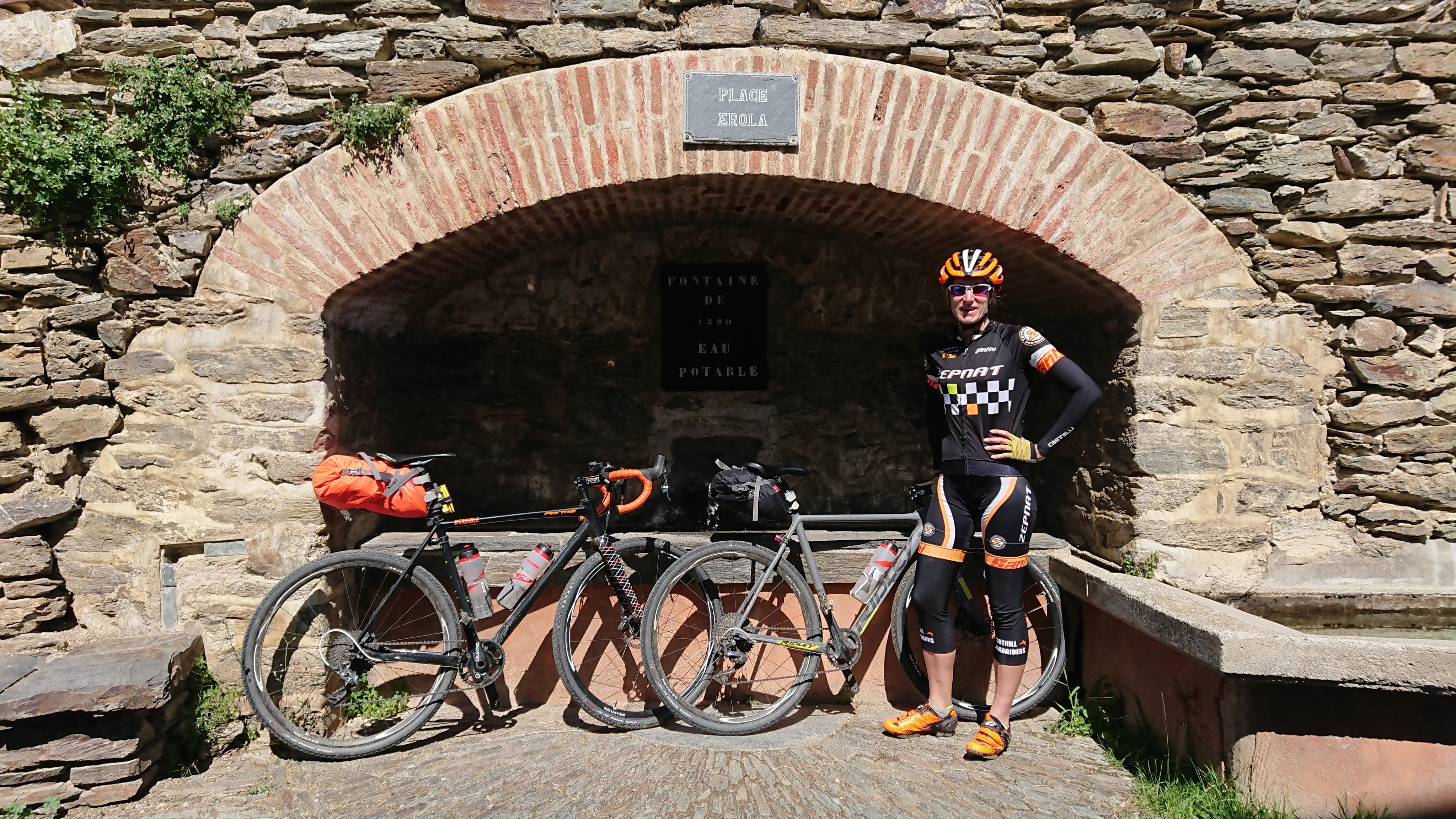
We thought we caught a glimpse of the Mediterranean in the distance before the track ended at a delightful little settlement with a welcome water fountain.

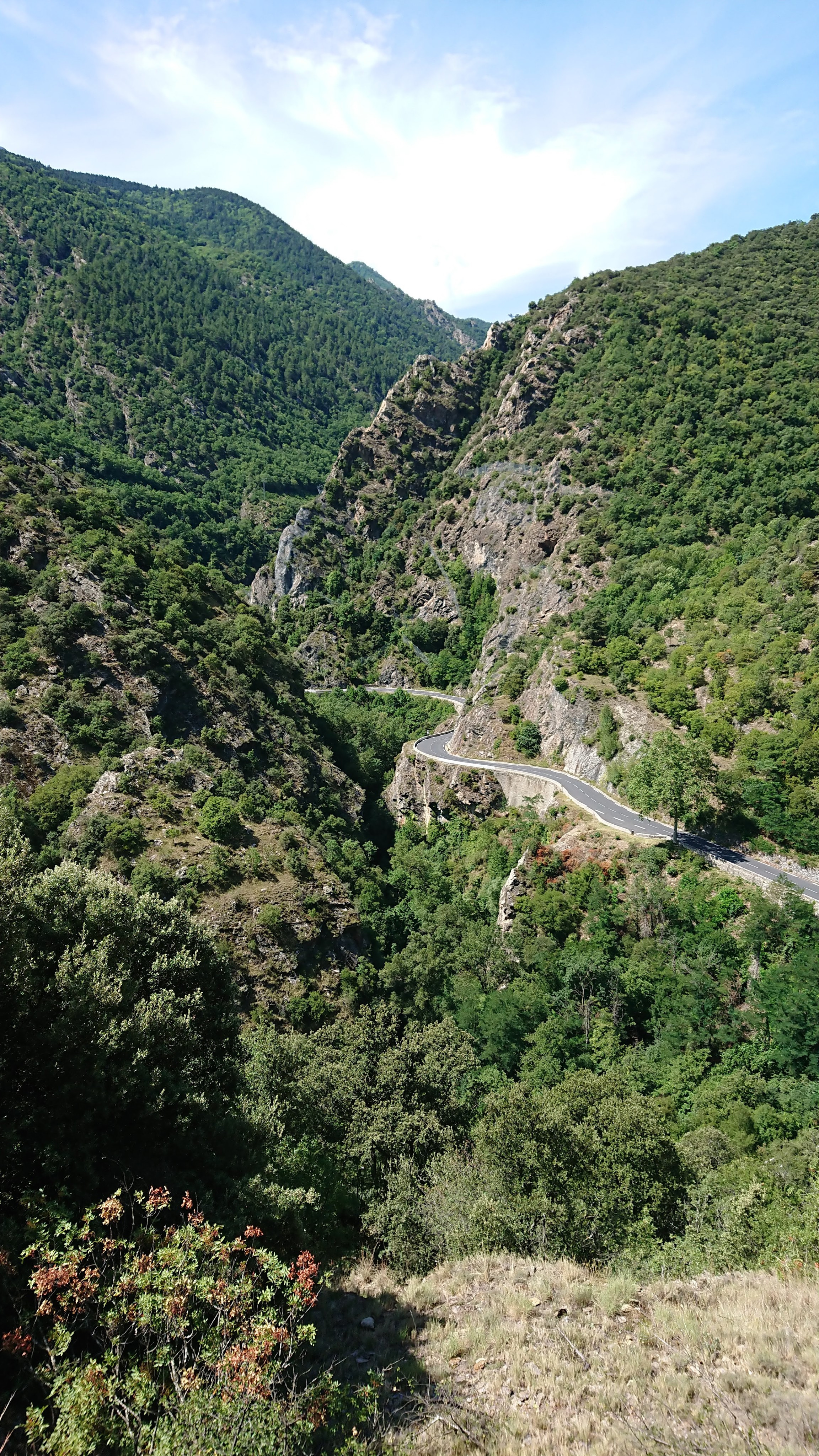
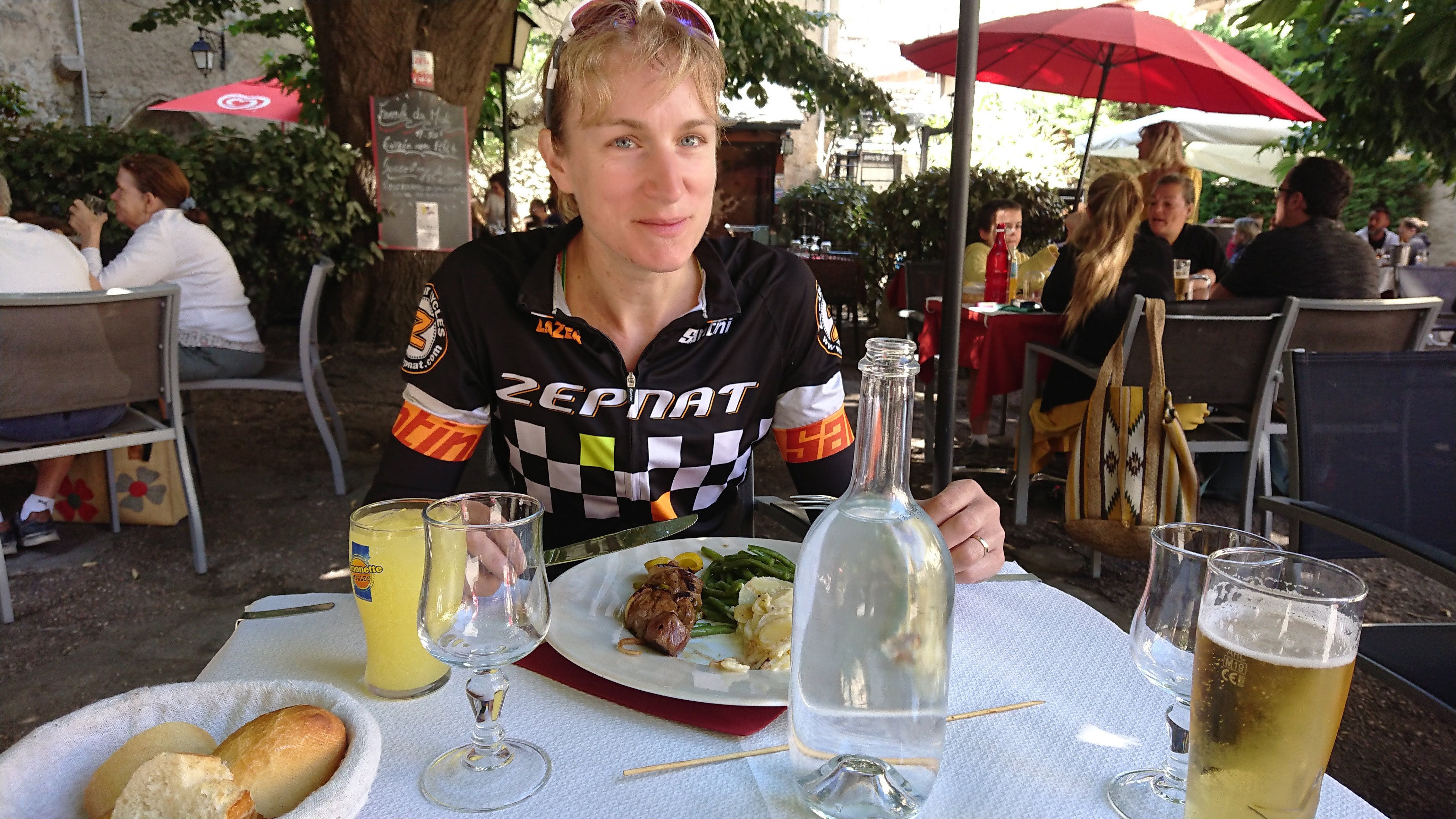
If anything the descent then got better, with a narrow, sinuous road leading to the main road out of the mountains towards Perpignan. Along this road we found a walled town where we treated ourselves to a proper meal.
With a long way still to go, we got our heads down to knock-off some miles as quickly as possible before joining up with our original planned route (which was running nearly parallel to us, a little to the south). Rather than spend most of the day on main roads, we decided to add in a col to get over this route a bit sooner. The afternoon heat was starting to build so it was a slow haul to the top. We were, however, encouraged that we could keep pace with another cyclist we met, who was on a road bike with no luggage.

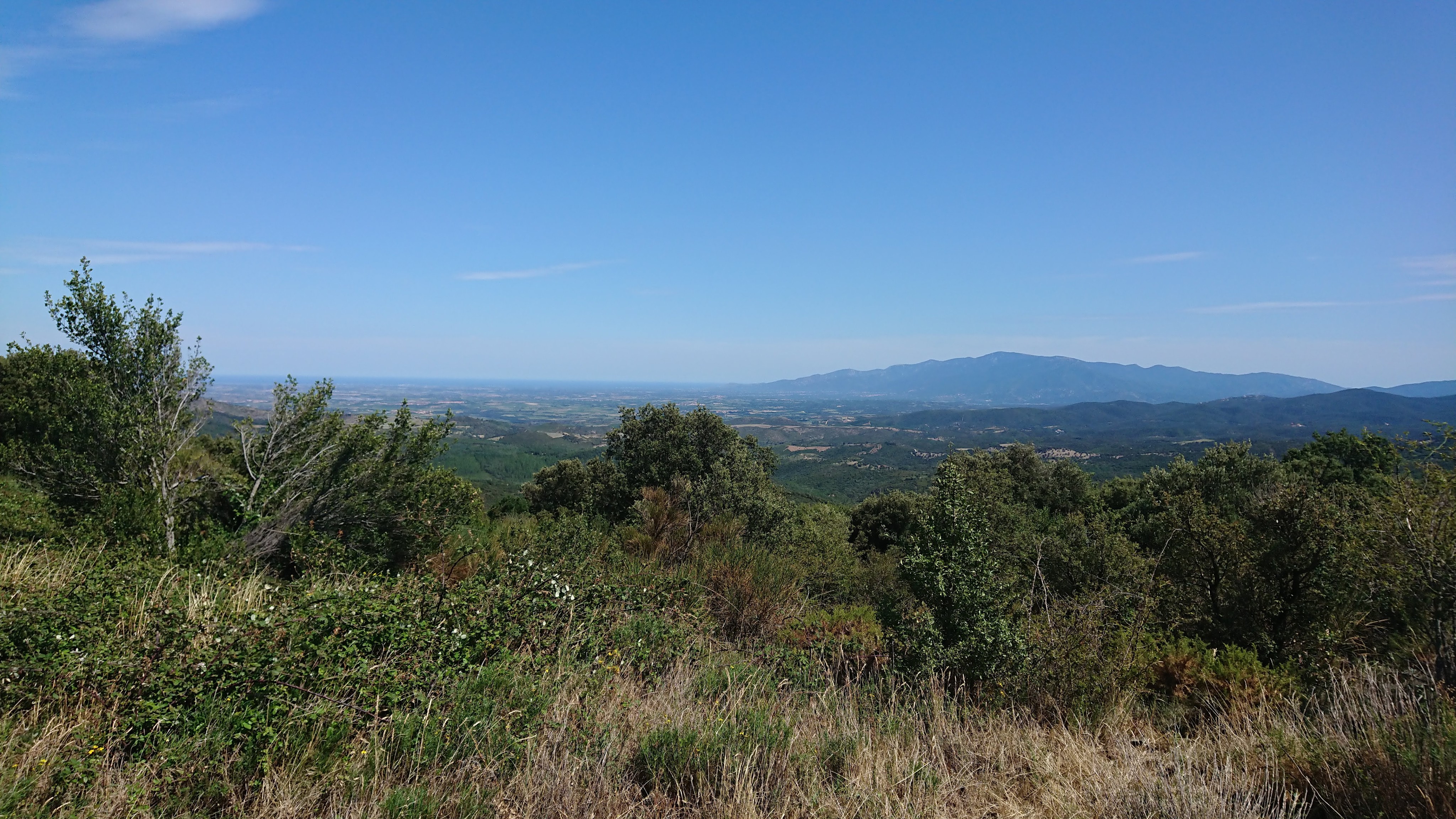
From the top of what turned out to the Col de Fontcouverte, the views of the land sloping away towards the Mediterranean were stunning and extremely encouraging. We still had a long way to go though. This ‘bonus col’ looked like pushing today’s distance over the 100 mile mark, which would be a nice achievement, but they only call things achievements if they are non-trivial!
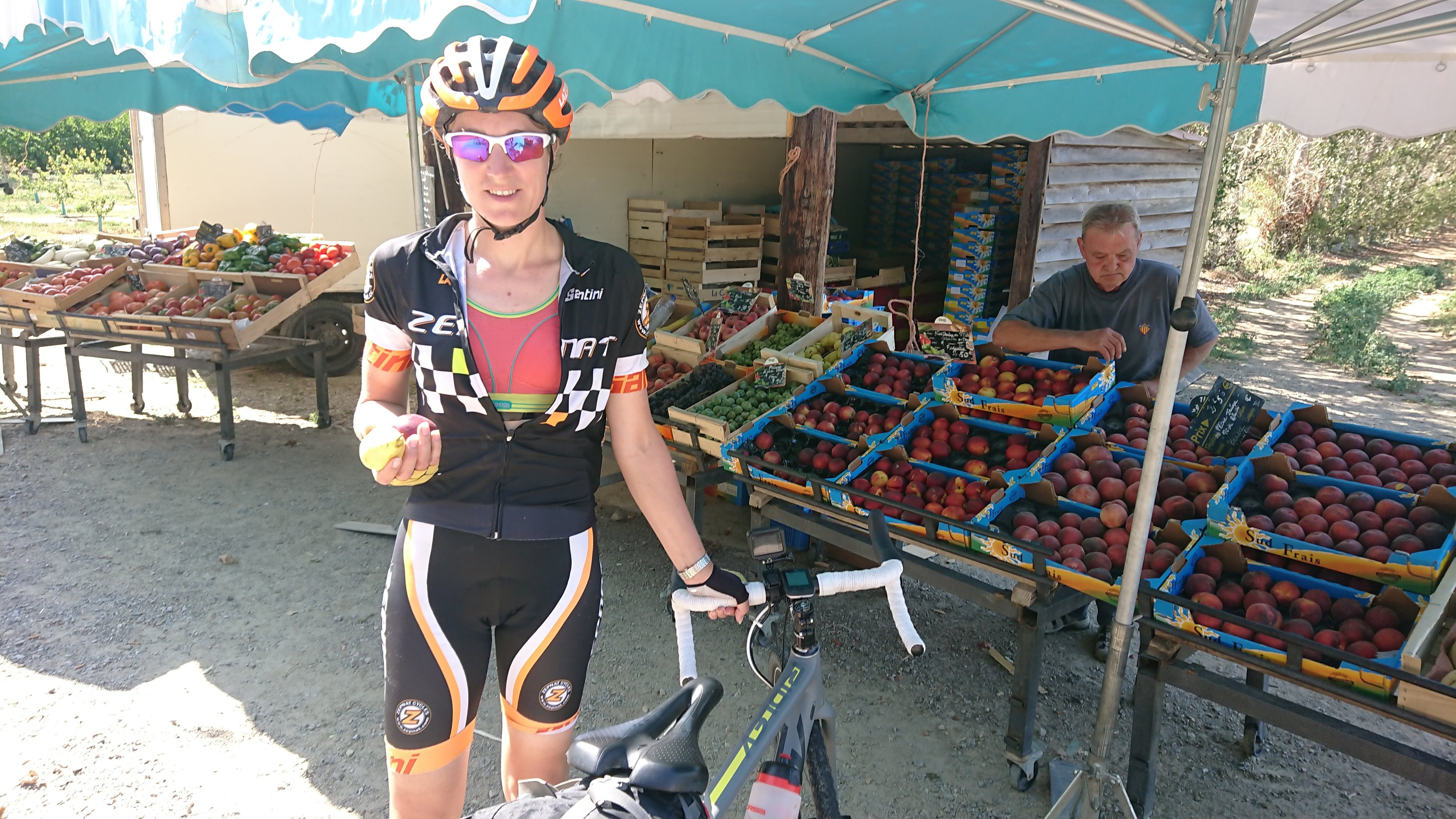
After being stung for 10 euros for two small drinks at the tourist hot spot lunch stop, Alex (a northerner) was keen to tighten the purse strings for the remainder of the day. A roadside fruit stall was perfect for a refreshing snack before we made the final push to the sea.
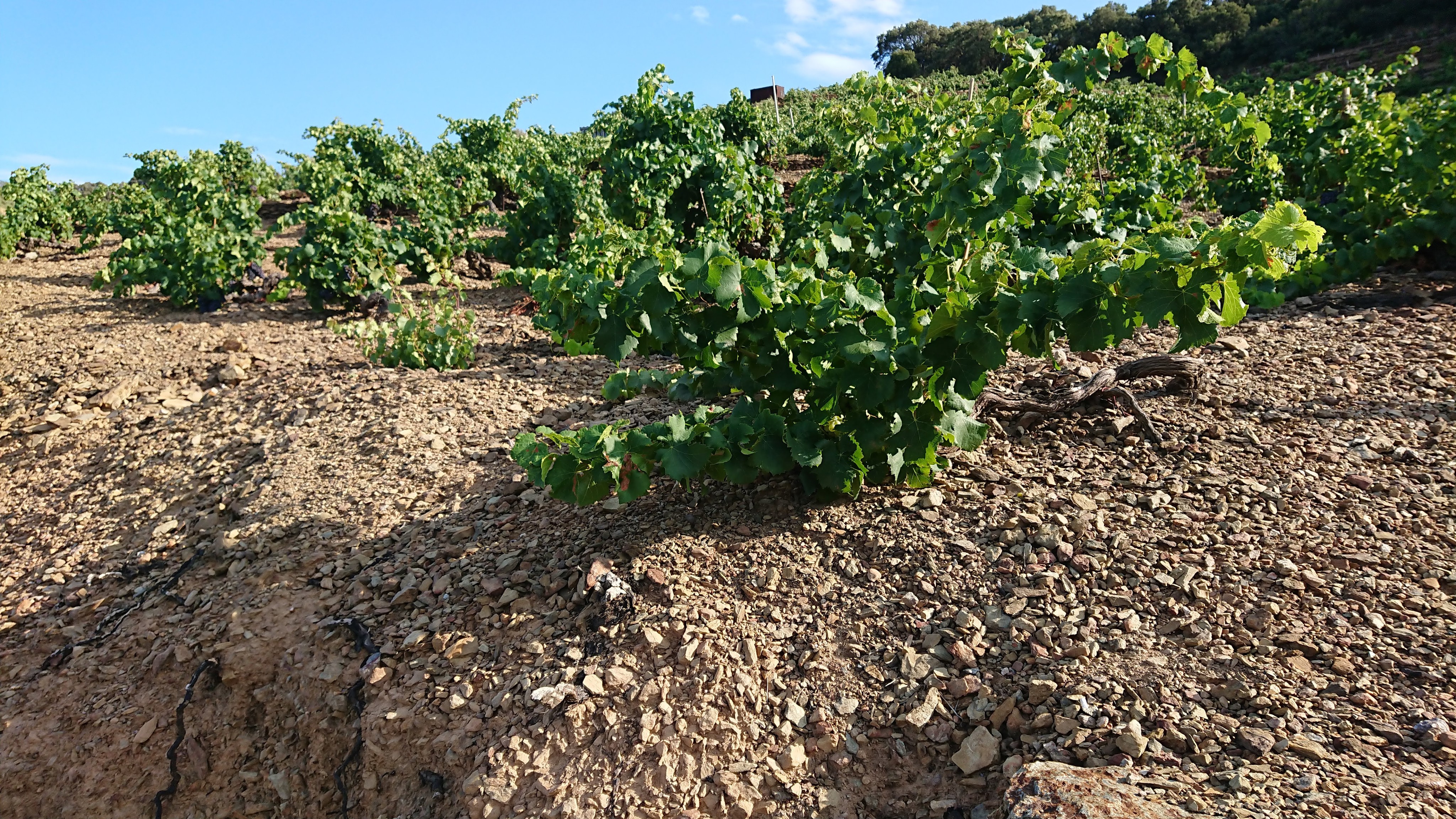
We made it to Argelès-sur-Mer but still had an arduous haul along the coast road, through the wine region of Banylus (and a lot of holiday traffic) before our destination just beyond Cerbère.
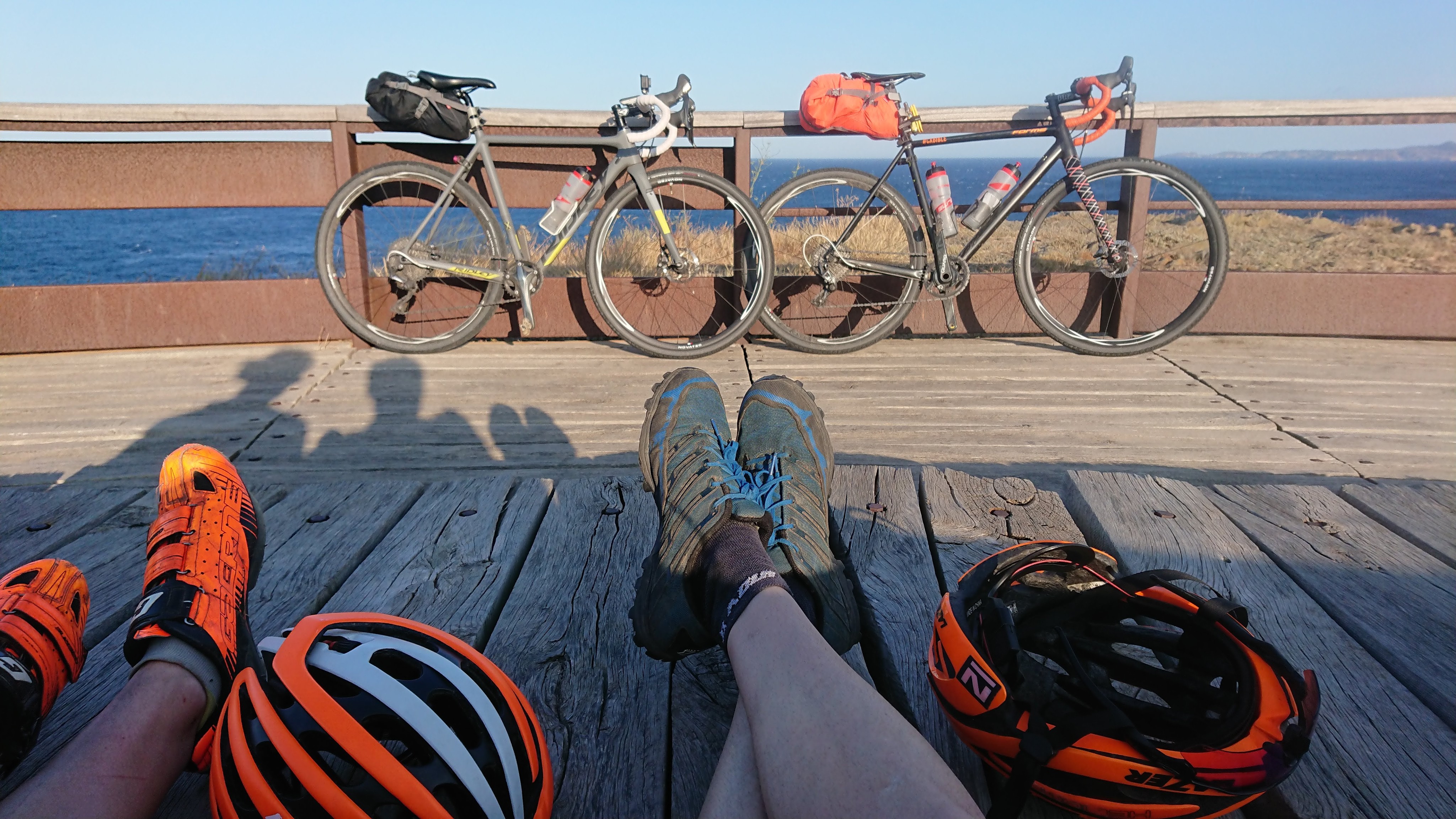
We had made it – we would be able to catch the train back to the children in the morning and, despite needing to get up extra early for the 7am train, we could relax! We would stay in only the second of our originally, meticulously planned, rooms (a very cycling friendly hotel La Dorade ) and enjoy a seafood meal with a view of the Mediterranean. The trip had certainly been a challenge, and much more of a logistical one, than expected.
And here’s a map of the route we finally ended up completing:
