🚲 72.8 miles, 3324m climbing, Cols: 🏔 Col du Portillon 1293m, 🏔 Plan de Beret 1893m, 🏔 Port de Salau 2088m, 🏔 Col de Latrappe 1110m
Following two ‘easy’ days (day 3 & day 4), we were now going for a full-on day: crossing into Spain for a long and high gravel path we’d spotted on Google Earth, before crossing back into France over a high off-road pass. The weather wasn’t looking perfect though, and Jen really wasn’t too keen!
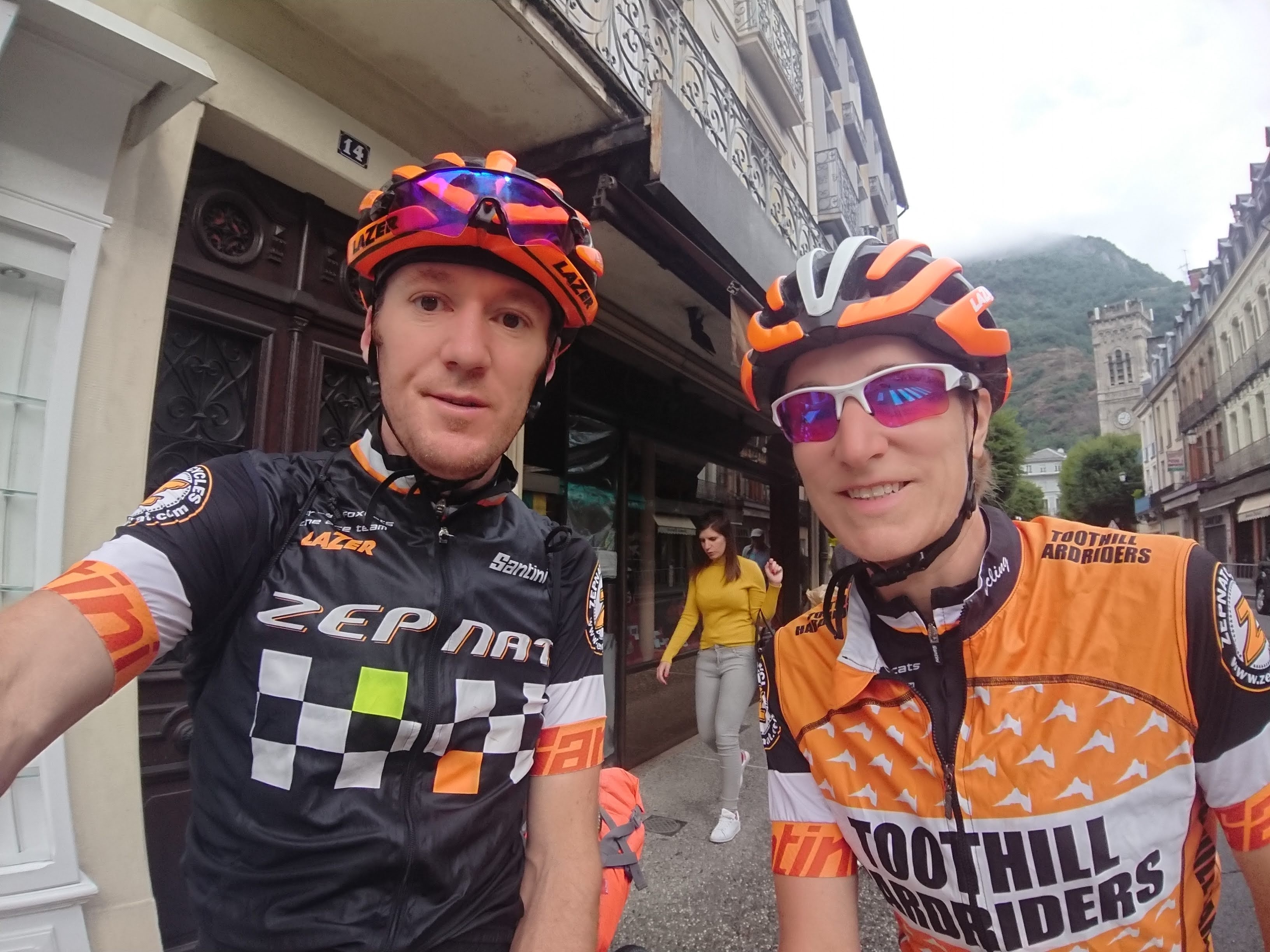
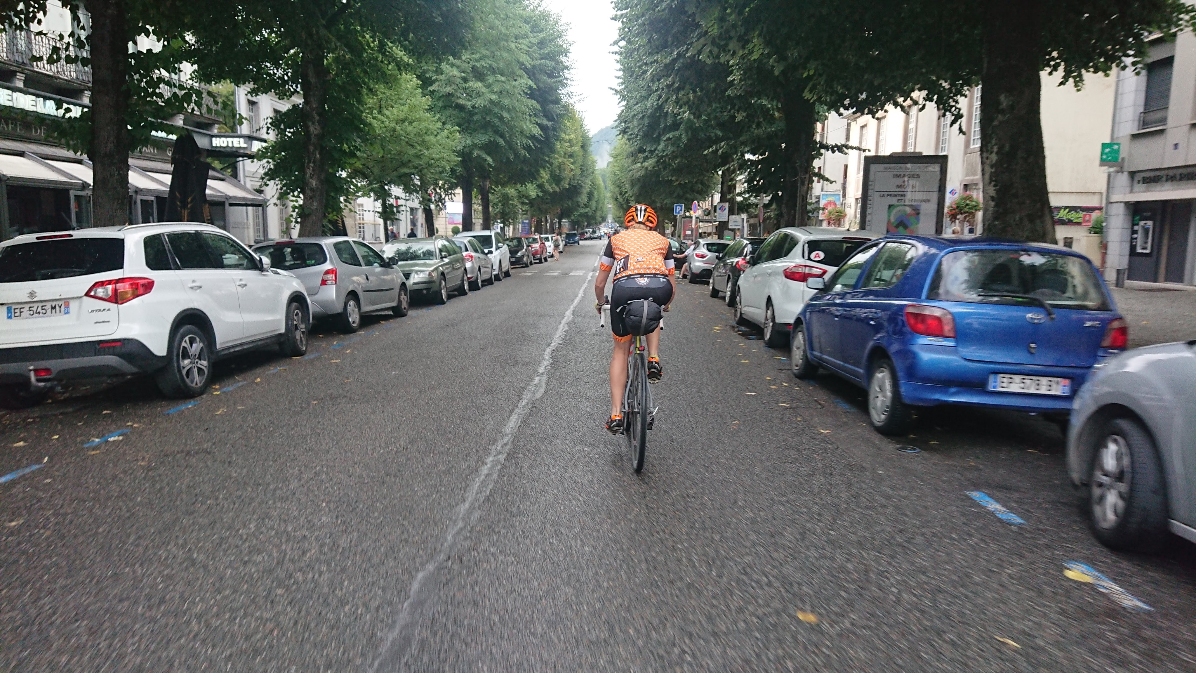
We set off from Bagneres-du-Luchon early, with our Ride for Charlie bag stuffed with croissants, pain aux chocolat, and a baguette in case an emergency packed lunch was required. We had also realised by this point that when Jen felt hungry we only had a few moments before complete meltdown, so wanted to be prepared!
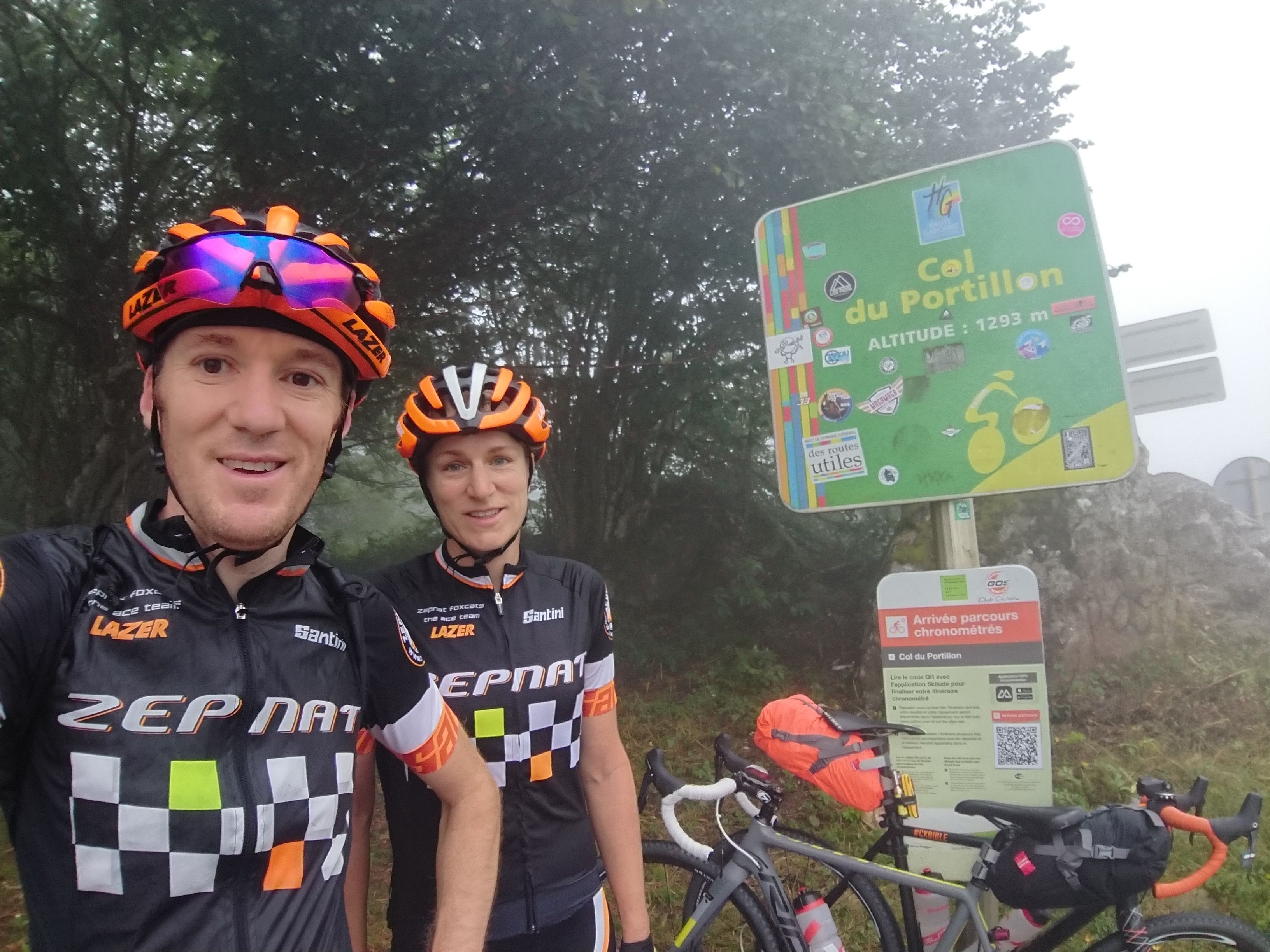
We believe we began our fifth day along the road where Tour de France stages have been finishing since 1947 (including after Chris Froome’s amazing descent of the Col de Peyresourde in 2017).
The Portillon was shorter than some we had so far conquered, and felt it after such a comfortable night, but we didn’t want to get ahead of ourselves – this was only the beginning of a very long day.
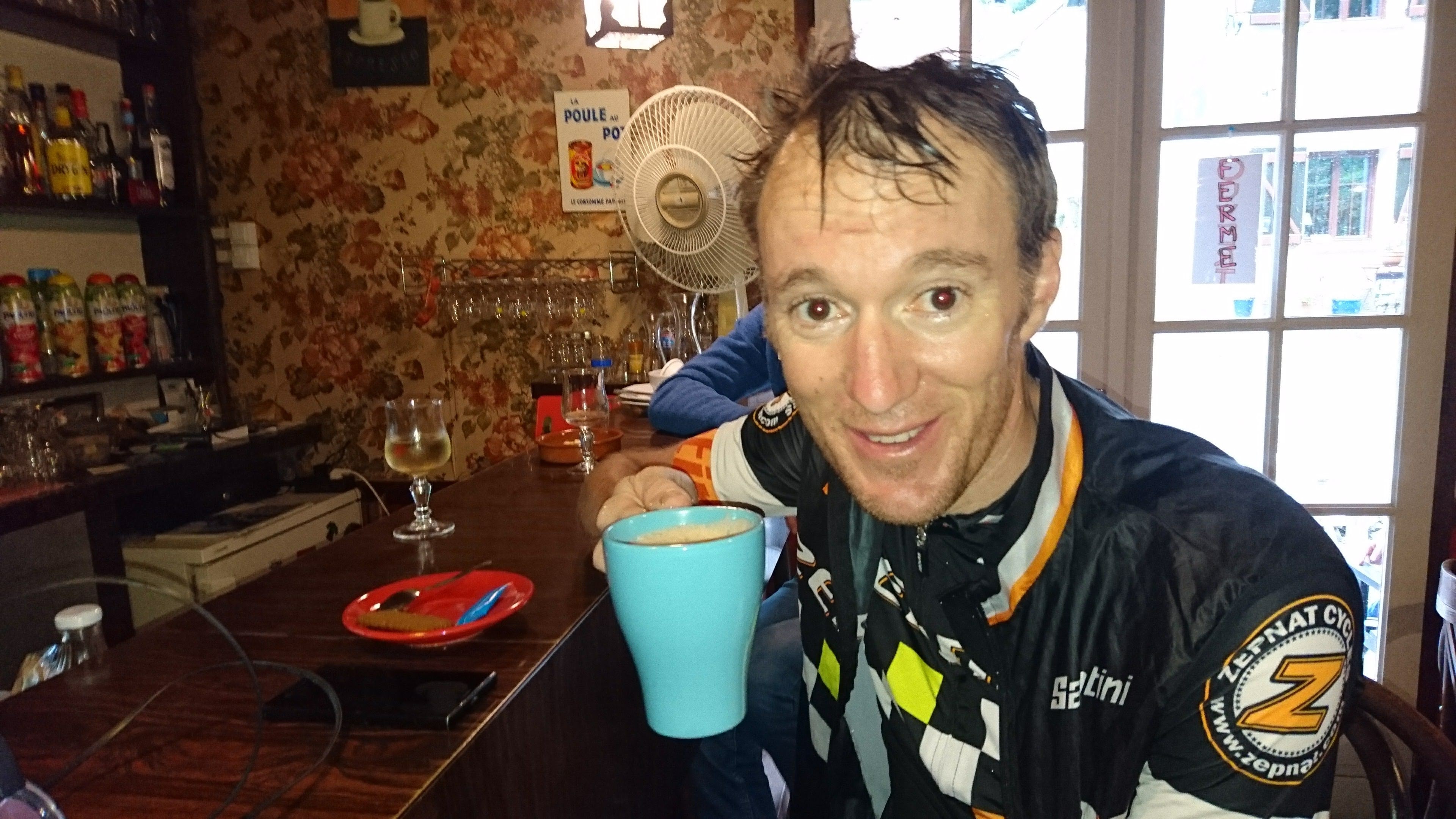
Heading along the long valley road through Spain Alex continued to point out the amazing off-road adventure we could have been experiencing if we’d been anywhere near as strong as he’d predicted before we set off – I didn’t mind the big road and we were both exceedingly grateful for the tailwind making it appear as if the river we were following was defying gravity! We tried to stop early for more coffee but we were ahead of schedule so the roadside bars weren’t open yet. Happy to continue with the wind behind us, we powered on to Vielha and found a lovely little coffee bar – luckily google translate was on hand as we soon discovered that “gracias”, “hola”, and hand gestures weren’t going to be sufficient to get us a latte and hot chocolate. Finding the correct toilet also needed assistance – it’ll be helpful when Douglas starts learning Spanish at secondary school to help us if we come back! We also tested the local biscuits, from the next-door bakery while a heavy squall passed. They weren’t quite to our taste but provided a much-needed sugar hit and shelter from the rain.
The changeable weather was a concern, but we had to get back into France to our next stop and the road detour was too long to make it – there were few options – we continued to hope that the forecast was correct (at least the interpretation of the forecast Alex had relayed to Jen) and the rain would pass.
As we plodded on, it became clear that this was a major destination in the winter, with lots of new chalets, mountain road improvements, and even a few e-bike rental shops. I thought this looked promising – although there were next to no cars on the road, or other cyclists, I did say “best-case scenario, we get to this ski station and there’s a bike part up there with marked trails, maybe there will be ski lifts”. Alex was adamant there wouldn’t be either. Well, he knew there were no lifts at the col we were heading over.
On we pushed, and the hairpins began. Then, it became apparent, by diverting our route to the main road, we still had a 2000m road col to get over (which, in the absence of anything obvious on the map, we’re calling Plan de Beret)! It slowed us slightly, but I was still optimistic about what was to come – only the weather was worrying me.
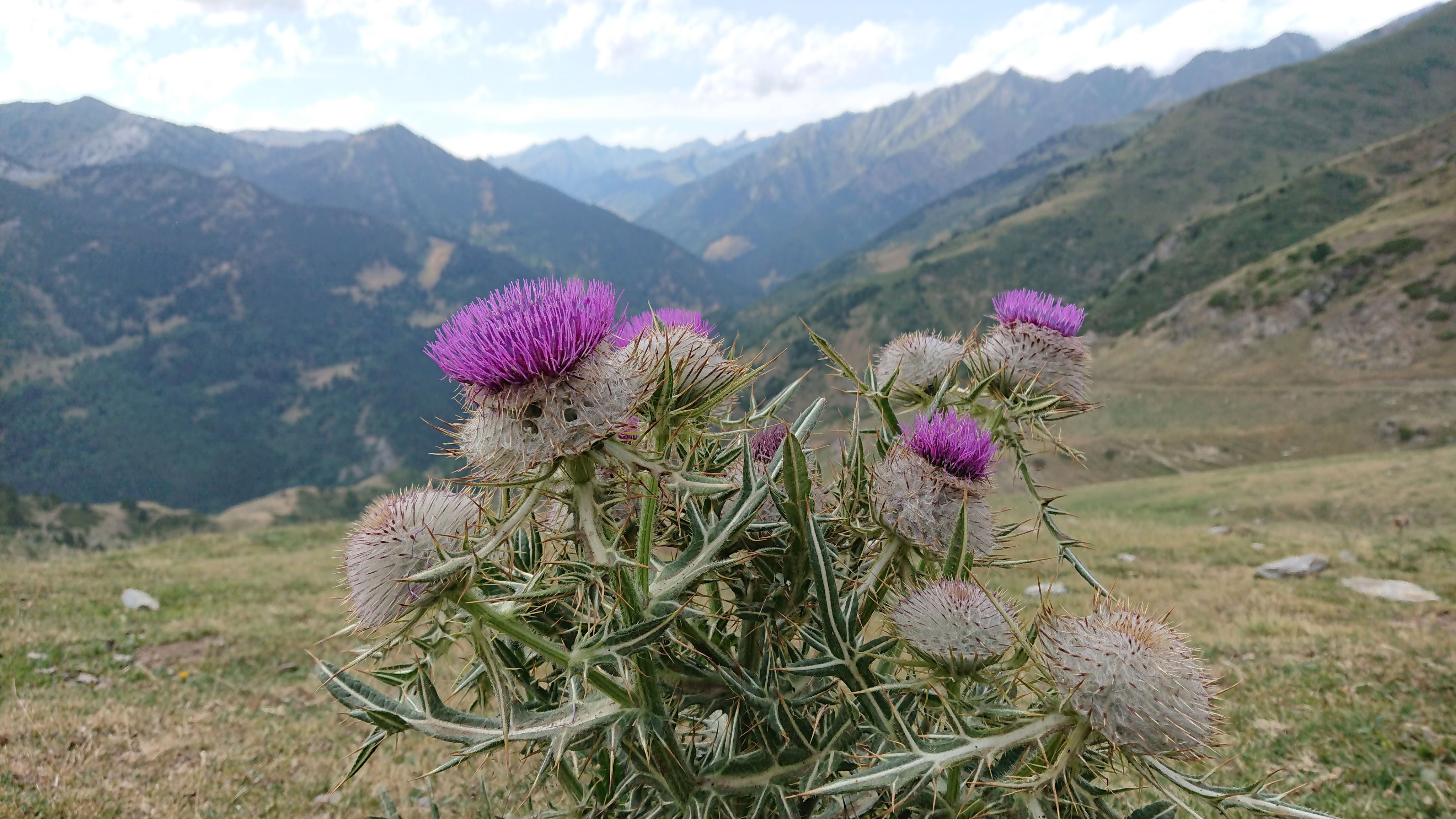
Then, we arrived at the top – the view consisted of a very large car park (with horses, as seems to be the norm in the high Pyrenees), a number of walkers, some ski lifts – one of which was running for bikes, a few scattered cyclists and a long well-maintained track heading off in the direction we were bound.
The gravel bikes came into their own again. We had great fun, although losing some altitude, speeding down to the Auberge where we had hoped to have lunch.
It didn’t disappoint – a gathering of outdoorsy people enjoying the burgers and chips. They even had non-alcoholic beer, and the staff could speak English, which was helpful. There was a e-bike hire stand and map of e-bike routes. They were all on the Spanish side, but if an e-bike could make it, we knew we could ride most of the way!
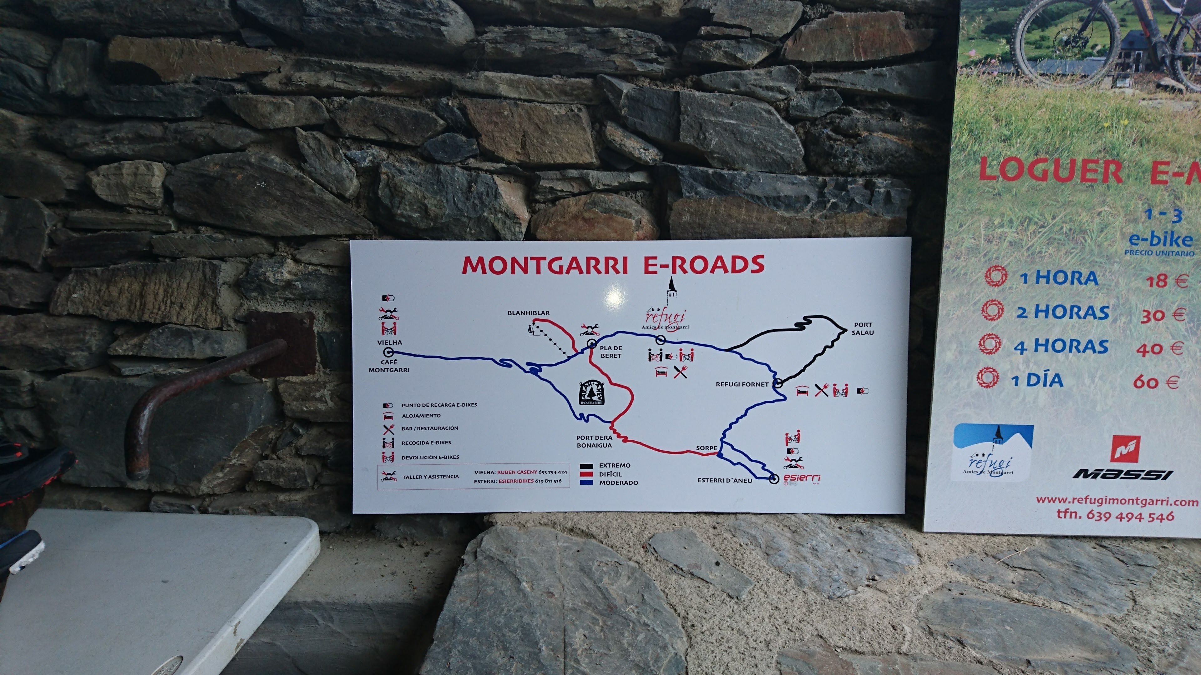
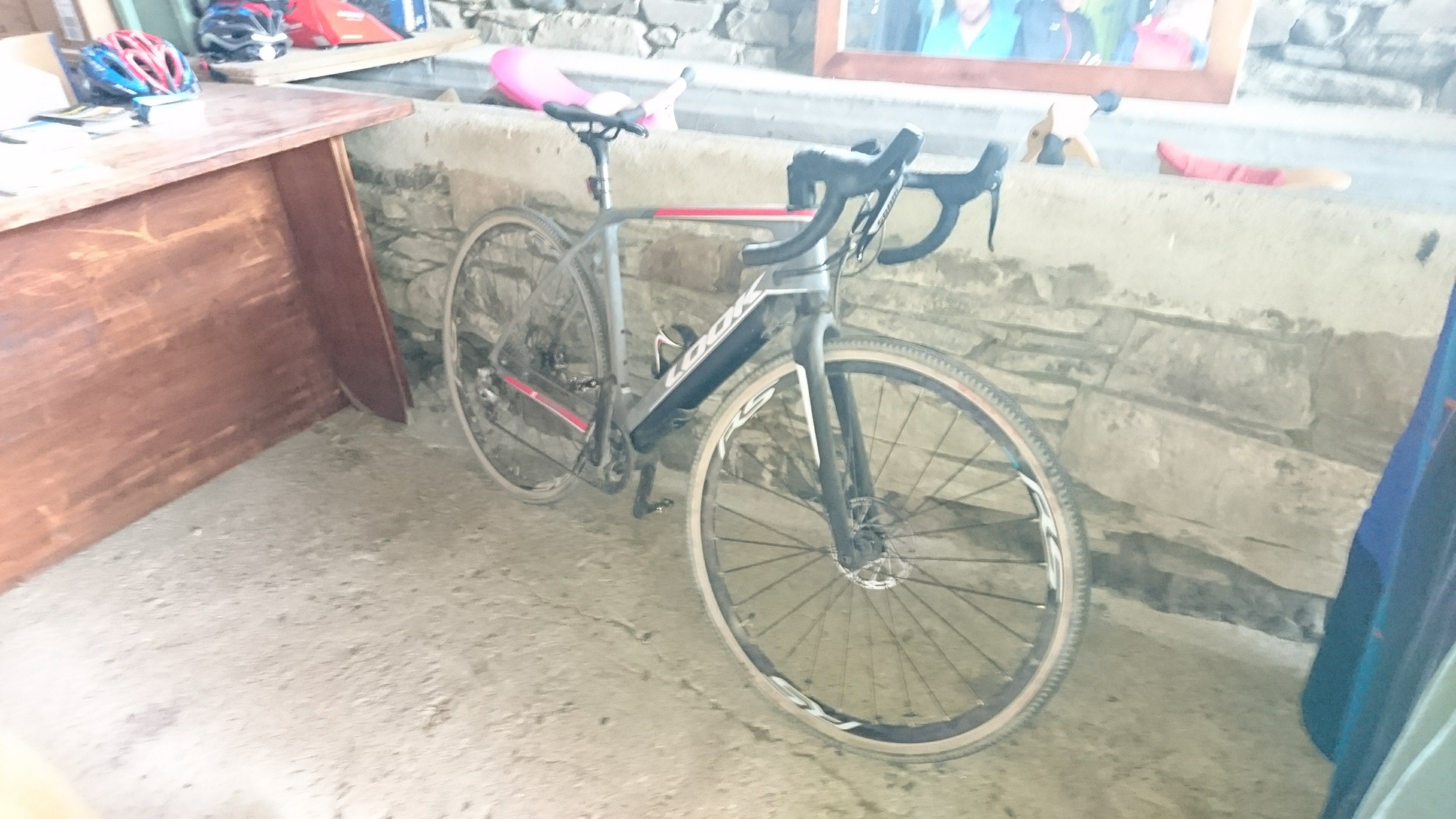
After a chat with one of the staff members we discovered that he, in fact, owned an e-cyclocross bike and he often rode it to work (80km over 2 cols) – it was a Look, and definitely heavier than our bikes, but even more positivity was flowing over us. We could certainly do this, even with the gathering clouds! We actually came across two English-speakers on holiday there on two gravel bikes.
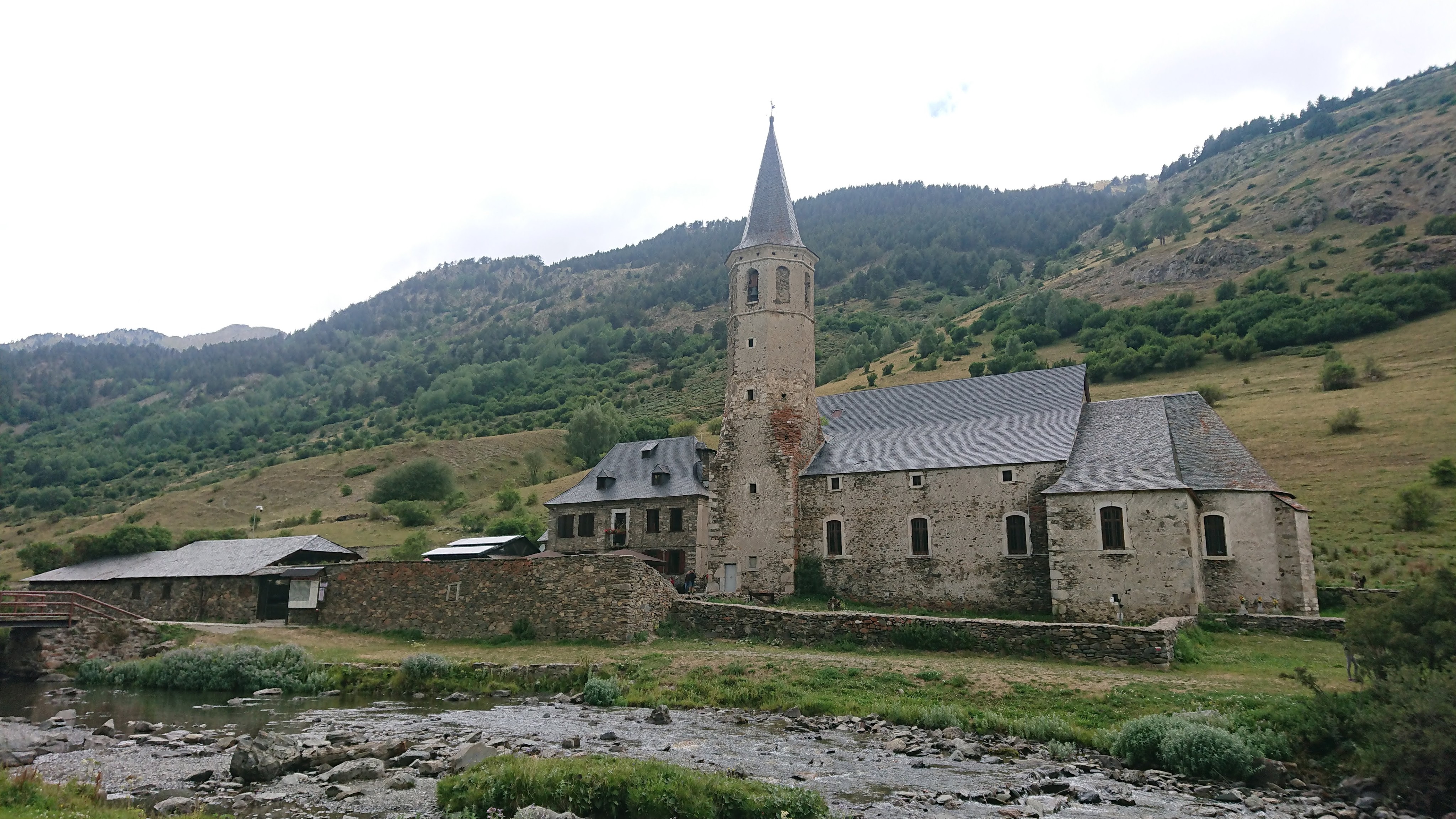
Even though we could see a darkening sky over the pass we were heading for, things seemed OK. The refuge owner said it was always like this: “over there is Europe, here is Africa!”. We left with him saying that it’d be about 20 minutes of hiking and be careful at the top on the other side as the visibility would be poor.
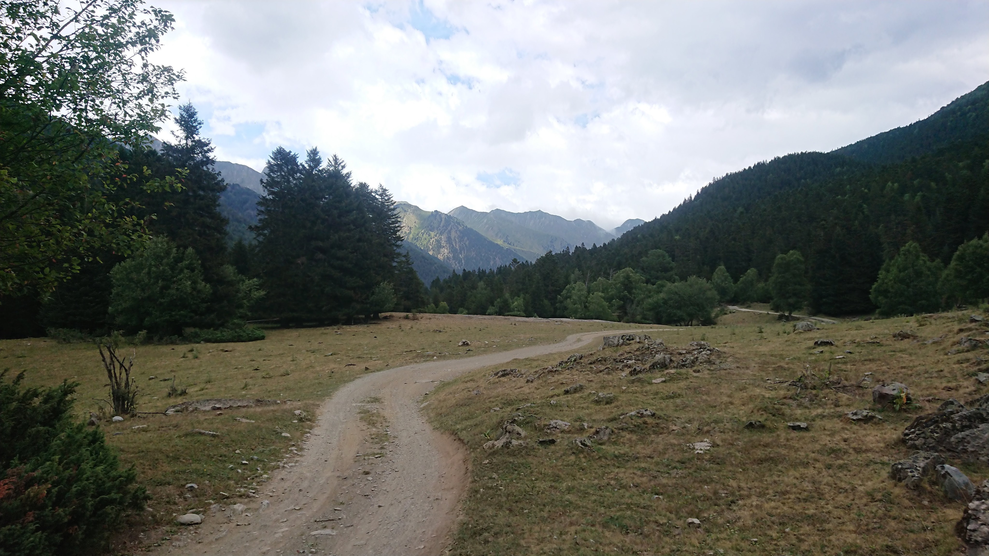
We sped along, past most of the tourists and out into the wilderness again, but as we were following a line on a map, it somehow felt better (Jen likes a line on a map, even if it’s only drawn in pen).
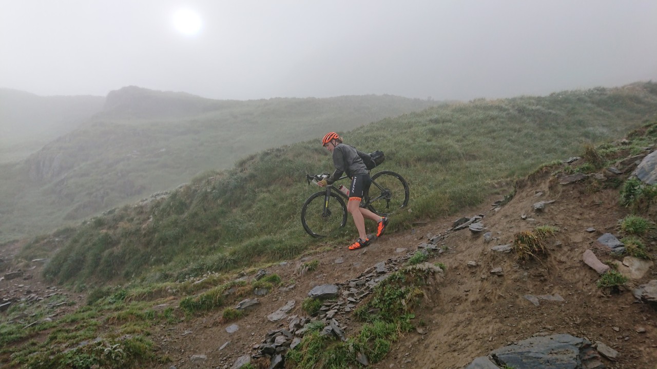
Still carrying rations in the RideForCharlie bag, Alex starts to have some gravel fun!

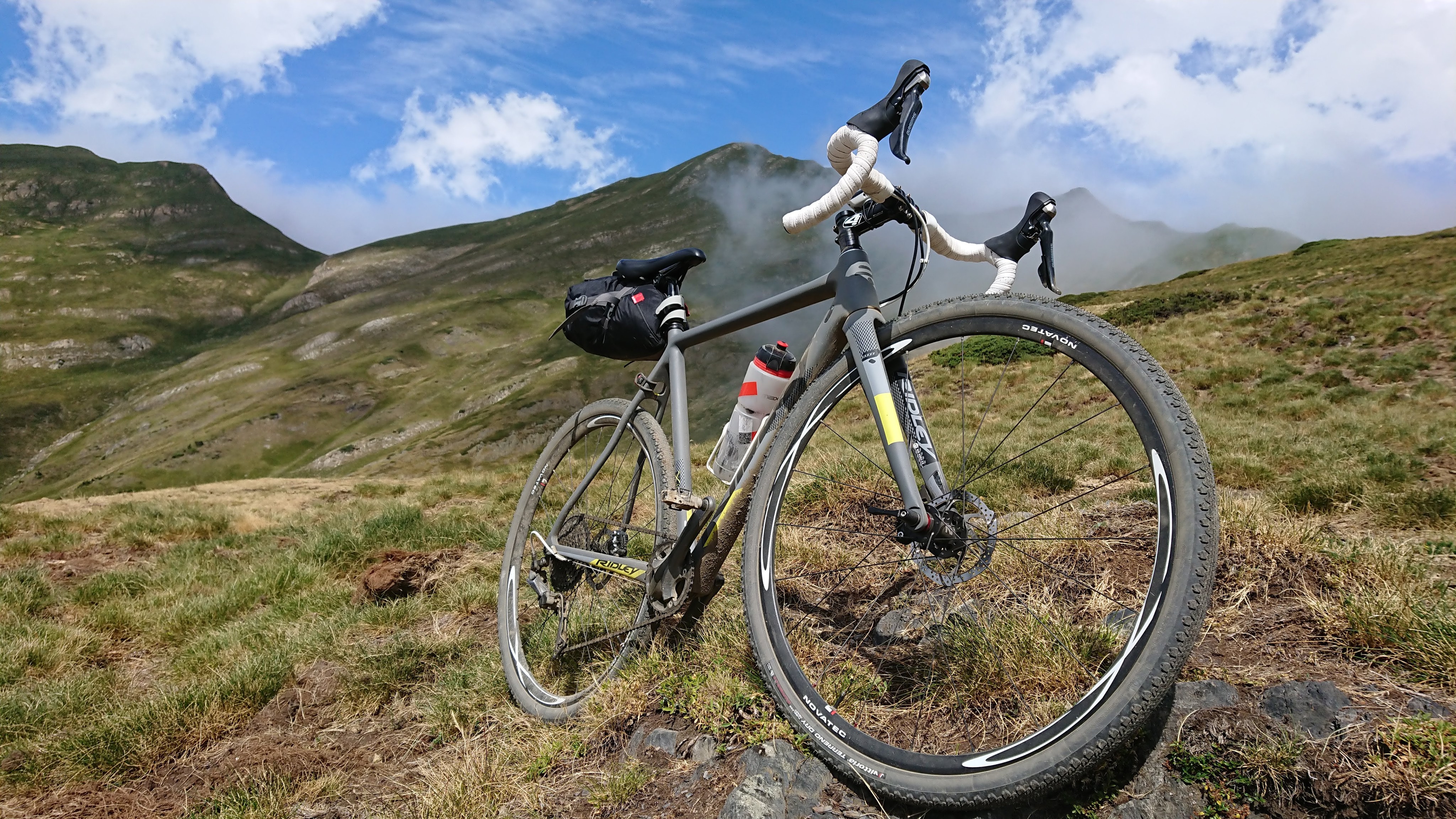
So confident were we in the next stage, we even stopped to take a couple videos: of a bit of down on the way up the Port de Salau, and a little bike set-up overview from Alex.
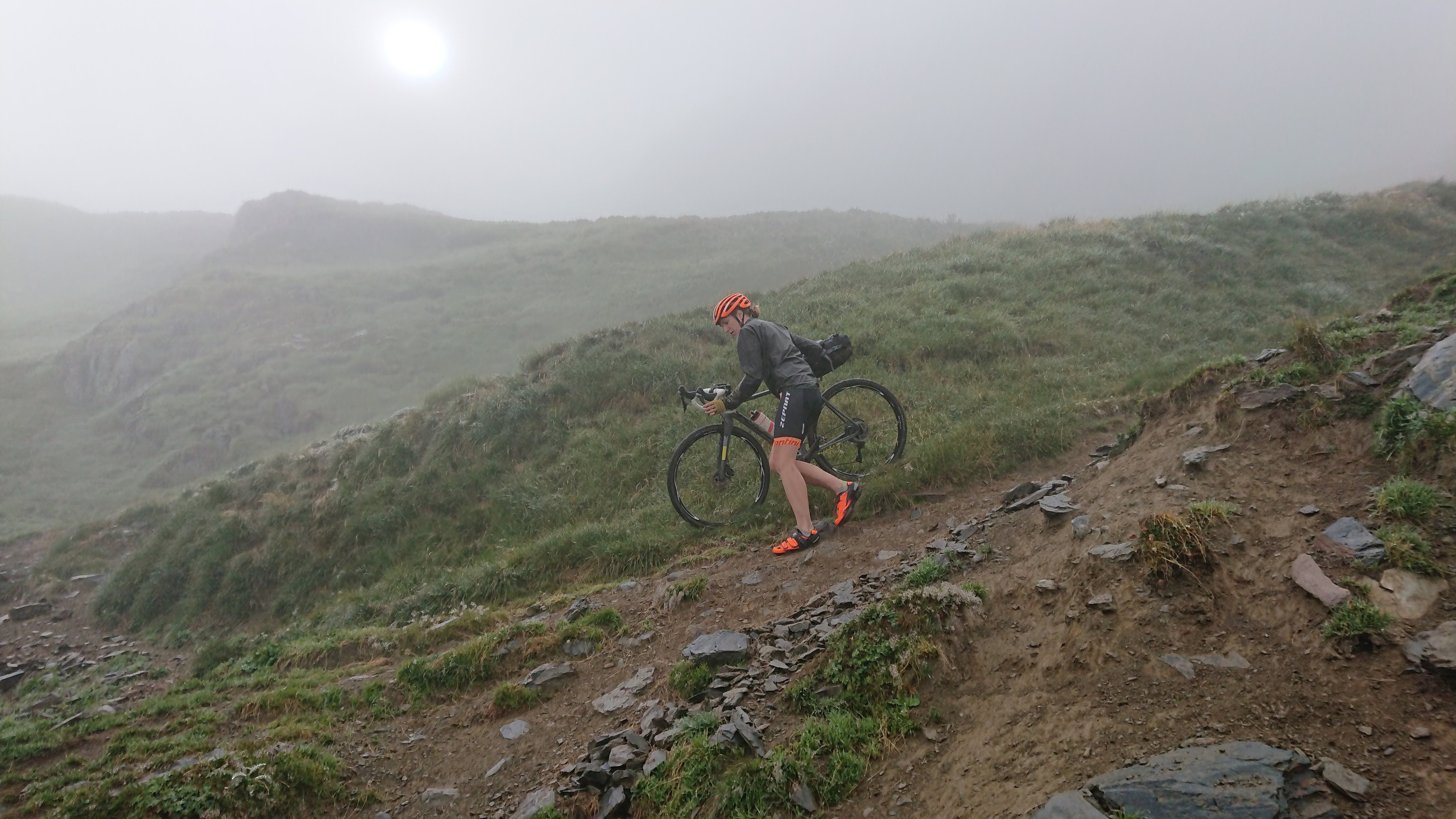
Nearing the col, the hiking began, but it really wasn’t far. We could now see the clouds whipping over the top and down the mountain at an alarming rate.
As we reached the pass, the wind wasn’t quite as bad as we had feared, and we could suffer another obligatory col photo.

The descent was steep, rocky and slippery, with hairpin after hairpin. Not far down, a pair of French youths emerged from the gloom asking us if there was a refuge nearby. It turned out there was: a little hobbit hole of a thing – quite enchanting.

As the descent wore on, we started to get the hang of sliding the rear wheel round the tight hairpins and began to make some progress.
The hairpin track mutated into an extended rock-garden (maybe a couple of kilometres). It would have been great on a fatbike but, on a cross bike, started to affect Alex’s sense of humour. Jen was enjoying herself though.
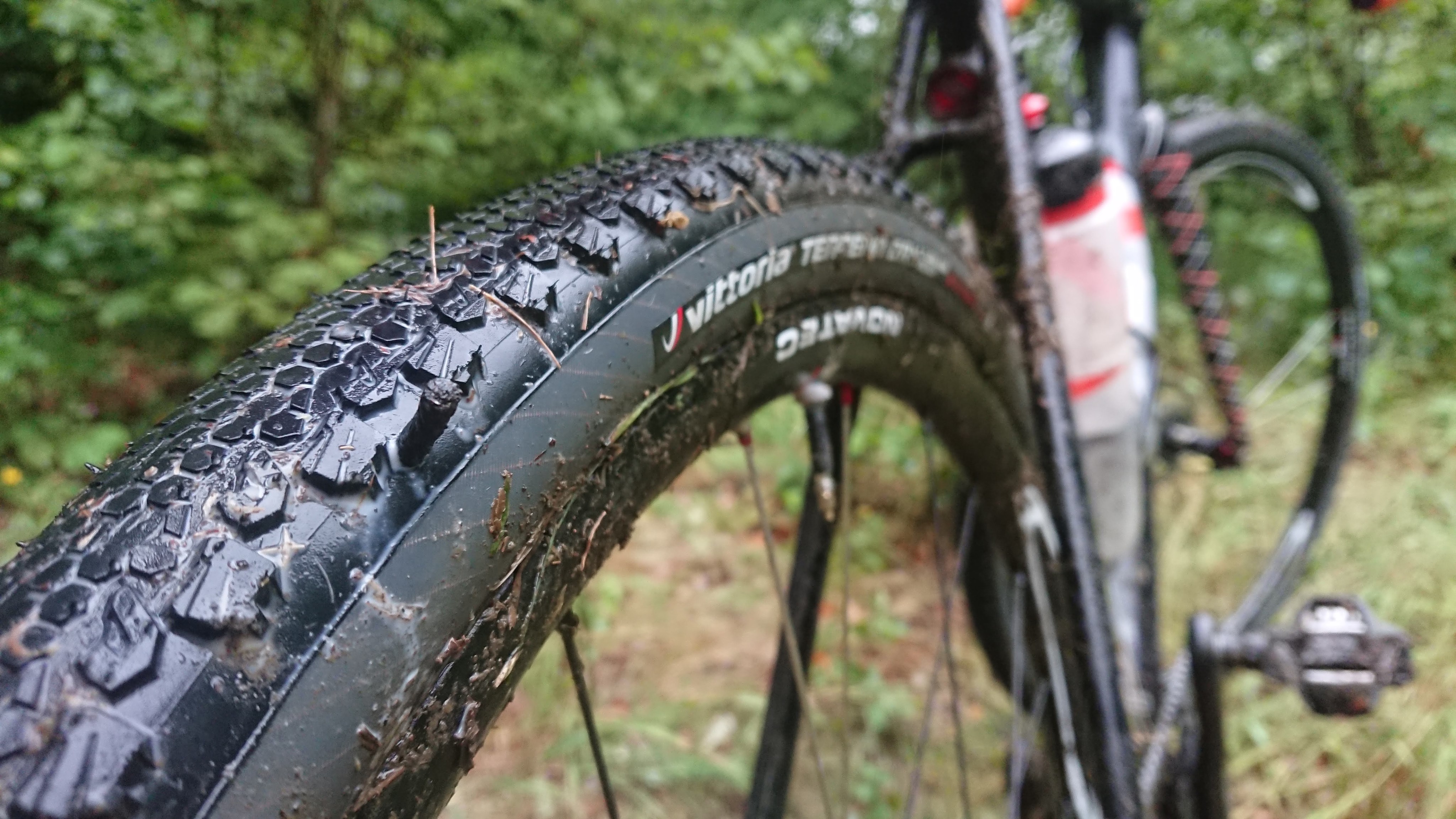
We finally reached a pretty decent gravel track. Some over-exuberance from Alex left him with a rear-wheel puncture (the first he’s ever had on Terreno Drys). Punctures are extremely rare with tubeless tyres (and it’s rare for them to be noticed, since the sealant in the tyre sorts out most). Alex’s moderate gash was quickly rectified with a ‘Dynaplug‘ and mini pump.
We soon passed another walker, asking for directions. We were rather incredulous at these people who took on >2,000m cols with such laissez-faire attitude to maps. She said she was tired and had been walking for five hours. We informed her we’d been riding for 10 and showed her our map. We’d cached all the offroad sectors of the route in France on the iPhiGéNie app (a really good app). For Spain we had downloaded some maps from the National Geographic Institute of Spain (free but hard to find the correct ones). Soon after that we hit tarmac, and about a mile or so down the road was Salau, and the wonderful Auberge les Myrtilles cafe. Owner René was Dutch and a former World Masters cyclocross champion.

We only had one more col to do before our Airbnb in Aulus-les-Bains. We had let the host Jean-Baptist know we’d be late but, after having to delay our visit by a day (see day 3 for the tale of woe), hadn’t had any contact from him beyond “we’ll save two beds for you”.
The weather was pretty grim but we’d got used to settling in to ride a col at a steady pace by now, and we finally made it up the Col de Latrappe and down into Aulus-les-Bains.
We looked suitably lost and desperate for Jean-Baptiste to see us and come out to welcome us in to ‘our’ room, where we were introduced to Sophia who would be rooming with us (😱). I had booked a private room, but we had rearranged at very short notice, so we were grateful just for a roof over our heads.
We did need some food, but it was gone 10pm by the time we made it to the local bar. The extremely kind owner offered us a sandwich or crepe but we opted instead for a half bottle of wine à emporter to go with some pasta we cooked in our room. We ate this while Sophia told us all about the socio-economic issues in Germany and her extensive views on them. To her credit, she refused my offer to share our wine with her, but she did ask our opinion on Brexit – thought we’d escaped that kind of talk!
We fell asleep contemplating how tomorrow we would embark on cramming three days of riding into two, so as to make our train booking back to the children.
… Day 6

2 thoughts on “LA MAMA Day 5”